Chorabari Tal
The Once-Magnificent Glacial Gem of Uttarakhand
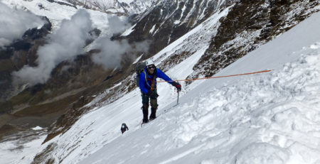
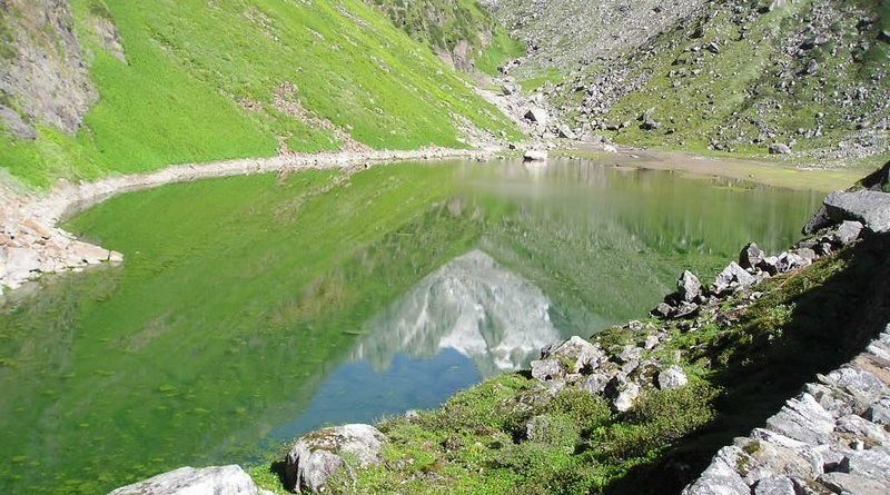
Chorabari Tal, also known as Gandhi Sarovar, was a stunning glacial lake situated at an altitude of 3,900 meters (12,800 feet) in the Garhwal region of Uttarakhand, India. Located approximately 2 kilometers (1.2 miles) upstream from the town of Kedarnath, it was a significant part of the Mandakini River system. The lake was formed at the snout of the Chorabari Glacier, nestled amidst breathtaking Himalayan landscapes.
Chorabari Tal was renowned for its crystal-clear waters and picturesque surroundings, making it a popular destination for trekkers and nature lovers. The lake measured around 250 meters (820 feet) in length and 150 meters (492 feet) in width, with depths ranging from 15 to 20 meters (49 to 66 feet) depending on the season. Its waters primarily accumulated from rainfall and melting snow in the catchment area, creating a serene environment cherished by visitors.
The Catastrophic Event of 2013
On 17 June 2013, a catastrophic flash flood occurred when the moraine holding back the waters of Chorabari Lake gave way. This led to vast quantities of water cascading down the valley below, causing significant destruction in Kedarnath and the surrounding areas. Tragically, the lake did not reform after this event, as much of the moraine had been washed away, leaving behind a boulder-strewn flat area with only a small stream flowing through it. The impact of this disaster altered the landscape permanently, leading to increased concern over the stability of glacial lakes in the region.
The Chorabari Glacier and Its Changes
The Chorabari Glacier, located in a cirque about 6 kilometers (3.7 miles) wide, has been experiencing significant changes due to climate change. By 2013, the snout of the glacier had retreated several hundred meters from its original position at the moraine. This retreat has contributed to the accumulation of water below the glacier, which was initially dammed back by the moraine, forming the lake. However, as the glacier shrank, concerns regarding water accumulation and glacial stability grew.
A monitoring camp set up by the Wadia Institute of Himalayan Ecology observed the lake’s water levels. Typically, the water depth would increase by 2 to 4 meters (7 to 13 feet) at the onset of the monsoon season, showcasing the lake’s dynamic nature before its catastrophic collapse.
Current Status
Today, the site of the former Chorabari Lake remains a stark reminder of the devastating effects of climate change and the power of nature. The area is now characterized by a rocky terrain devoid of the serene lake that once existed. Visitors to the region can still experience the awe-inspiring views of the surrounding peaks and the remnants of the glacier, offering insights into the region’s glacial dynamics and the impacts of environmental changes.
Chorabari Lake may no longer be the picturesque glacial gem it once was, but its story serves as a crucial reminder of the fragility of natural ecosystems and the urgent need for environmental awareness. The landscape, shaped by both natural beauty and human-induced challenges, continues to attract visitors who seek to understand and appreciate the majestic Himalayas.